
Viktor Zimmermann · 28 September 2026
Long-Term Sensor Networks Track Subtle Soil Moisture Changes Across Regional Trail Systems
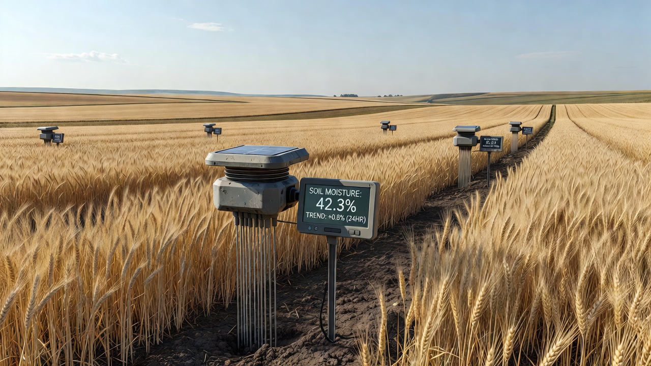
Regional trail systems around the world now rely on extended sensor networks that record incremental variations in soil moisture across established paths and surrounding terrain. These installations consist of buried probes, wireless transmitters, and centralized data loggers that operate continuously for years, collecting readings at intervals ranging from minutes to hours. Researchers at multiple institutions have deployed such arrays in North America, Europe, and Australia to document how moisture patterns respond to rainfall, seasonal temperature shifts, and vegetation cover.
Data gathered since 2018 shows that many trail segments experience moisture fluctuations of just 2 to 5 percent over weeks or months, changes that remain invisible to standard manual sampling methods. The networks capture these shifts because sensors sit at multiple depths, typically between 10 and 60 centimeters, and transmit readings through low-power wide-area networks. Analysts process the resulting time-series datasets to identify gradual drying trends near trail edges or persistent saturation zones in low-lying sections.
Deployment Methods and Technical Specifications
Technicians install probes by augering small holes along trail shoulders and connecting them to solar-powered nodes that relay information to base stations within a few kilometers. Calibration occurs against laboratory soil samples taken at installation and again during periodic maintenance visits. Networks in the Pacific Northwest of the United States, for example, use capacitance sensors while installations managed by European forestry agencies favor time-domain reflectometry units. Both approaches deliver comparable accuracy when soil texture data accompany the moisture readings.
Maintenance schedules call for battery replacement and sensor cleaning every 18 to 24 months. Field crews document any physical disturbance caused by wildlife or trail users so that anomalous readings can be flagged. By September 2026 several networks had accumulated more than seven years of uninterrupted records, allowing comparison across multiple drought and heavy-precipitation cycles.
Observed Patterns in Moisture Distribution
Long-term records reveal that canopy density exerts measurable influence on moisture retention. Sections with closed forest cover maintain higher average volumetric water content during summer months than open meadow segments, even when total rainfall remains similar. Slope aspect also matters. North-facing trail stretches in the northern hemisphere retain moisture longer than south-facing counterparts, a pattern documented across dozens of sites. These spatial differences become statistically significant only after three or more years of continuous monitoring.
Trail managers use the information to schedule surface maintenance and drainage improvements. When networks detect sustained increases above field capacity, crews can install additional water bars or reroute foot traffic before surface erosion accelerates. Conversely, prolonged drying alerts teams to potential compaction risks that affect trail stability and adjacent root systems.
Integration With Broader Environmental Monitoring
Soil moisture data feeds into larger hydrological models operated by government agencies. The United States Geological Survey incorporates selected network outputs into regional water-balance calculations, while the European Environment Agency combines similar readings with satellite-derived vegetation indices. Australian researchers have linked trail-side sensor arrays to national drought monitoring programs, extending the utility of the datasets beyond trail management alone. These connections allow analysts to cross-validate ground measurements against remote-sensing products and improve model resolution at local scales.
One collaborative project spanning British Columbia and Washington state compared moisture trends along parallel trail corridors and found that elevation gradients produce stronger moisture contrasts than trail surfacing materials. The study, published in an open-access environmental journal, demonstrated that sensor networks can distinguish between natural variability and management-induced changes when data collection continues for at least five years.
Future Expansion and Data Accessibility
Additional arrays are planned for trail systems in Scandinavia and New Zealand, where officials seek baseline information ahead of anticipated increases in visitor numbers. Open data portals now host aggregated moisture records from several existing networks, enabling independent researchers to examine correlations with trail usage statistics or climate indices. Access remains restricted to summarized daily and monthly values to protect the precise locations of sensitive installations.
Hardware costs have declined steadily, making multi-year deployments feasible for smaller land-management organizations. Battery and communication technology improvements have reduced the frequency of site visits, lowering operational expenses without sacrificing data continuity. These developments support wider adoption across both heavily used urban-adjacent trails and remote backcountry routes.
Conclusion
Long-term sensor networks provide trail authorities with quantitative records of soil moisture behavior that were previously unavailable. The accumulated datasets, extending through September 2026 in several regions, document subtle yet consistent patterns tied to vegetation, topography, and seasonal weather. Continued operation of these systems supplies the empirical foundation required for evidence-based maintenance decisions and integration with wider environmental monitoring frameworks.