Viktor Zimmermann · 14 September 2026
Researchers Document Microclimate Variations in Dense Canopy Sections of Regional Paths
Regional path networks wind through mixed woodlands where dense canopy sections create distinct microclimates that differ sharply from adjacent open areas, and researchers have spent recent years mapping temperature, humidity, and light gradients along these routes. Studies conducted across multiple sites reveal that canopy cover reduces solar radiation by up to 80 percent in peak summer months, while moisture levels remain elevated because transpiration and reduced wind speeds trap water vapor near the ground. Data collected from sensor arrays placed at ground level and at two-meter heights show nighttime temperatures in dense sections often stay 2 to 4 degrees Celsius warmer than exposed trail segments, an effect that persists into early morning hours.
Measurement Methods and Equipment Deployed
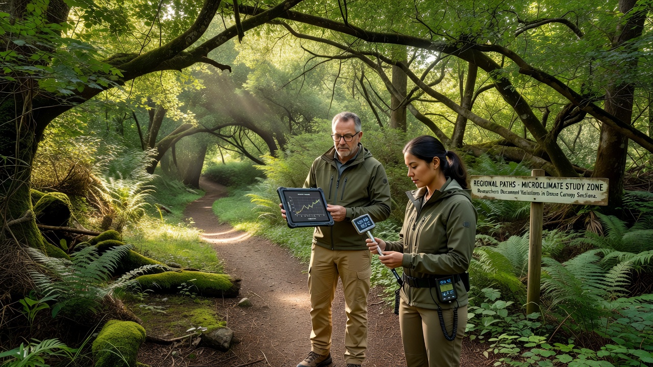
Teams from several universities installed portable weather stations and infrared thermography units along selected stretches of regional paths during the 2024 and 2025 field seasons. Instruments recorded readings every fifteen minutes, capturing daily cycles that included dew formation patterns and soil moisture retention beneath leaf litter. Researchers calibrated the devices against nearby permanent meteorological stations to ensure accuracy across seasons, and they cross-referenced readings wth satellite-derived canopy density maps provided by the European Environment Agency. The approach allowed scientists to isolate canopy effects from broader weather trends and to compare variations between coniferous, deciduous, and mixed stands.
One study released preliminary findings in September 2026 at an international forestry conference, highlighting how gaps in the canopy created by fallen trees or maintenance work produced localized cooling zones up to six meters wide. Those gaps altered wind flow enough to dry surface litter faster than surrounding shaded zones, influencing decomposition rates and nutrient cycling along the path edges. Observers note that such micro-scale changes can affect trail surface stability, particularly where root systems respond to altered moisture availability.
Ecological Implications for Pathside Habitats
Invertebrate surveys conducted alongside the climate monitoring showed higher abundances of moisture-dependent species such as certain ground beetles and springtails inside dense canopy zones. These patterns align with humidity data that remained above 85 percent relative humidity for longer periods after rainfall. Bird activity logs indicated that some ground-foraging species shifted their daily movements to take advantage of cooler shaded stretches during midday heat, while others avoided the same areas because reduced light limited insect prey visibility.
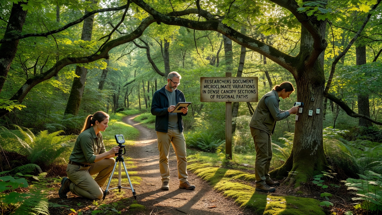
Vegetation transects revealed slower growth rates for light-demanding herbs directly beneath continuous canopy, whereas shade-tolerant ferns and mosses formed denser carpets on the forest floor. Soil temperature probes placed at ten-centimeter depth recorded smaller diurnal fluctuations under heavy cover, which in turn influenced microbial activity and carbon storage rates. Researchers compared these measurements with data from the US Forest Service long-term ecological research sites to place regional findings within broader continental patterns.
Management Considerations for Trail Networks
Path maintenance crews have begun incorporating microclimate maps into seasonal work schedules. Pruning decisions now factor in whether removing select branches would increase light penetration enough to reduce persistent dampness that softens trail surfaces after heavy rain. In some cases, crews leave narrow canopy corridors intact because the cooler, moister conditions support rare lichen communities that grow on older tree trunks bordering the routes.
Trail users report noticing these differences during different times of day, though quantitative data now backs up those observations with precise readings. For instance, sections with 90 percent canopy closure retain frost longer into spring mornings, creating slippery conditions that require extra signage until midday warming occurs. Conversely, the same sections offer refuge during summer heatwaves, a fact documented by visitor counters paired with temperature sensors.
Future Monitoring and Data Sharing
Plans call for expanding the sensor network to additional regional paths in 2027, incorporating acoustic monitors that track wildlife vocalizations in relation to microclimate zones. Open-data platforms will host the raw readings so other researchers can model how projected climate shifts might alter these localized environments. Collaboration with the Canadian Forest Service has already begun to test similar protocols on boreal trail systems, allowing direct comparison of temperate and northern canopy effects.
Conclusion
Documented microclimate variations along dense canopy sections of regional paths demonstrate measurable differences in temperature, humidity, and light that shape both ecological communities and practical trail conditions. Continued monitoring supplies the measurements needed to balance conservation priorities with safe public access, and the resulting datasets support evidence-based decisions across multiple woodland networks.